Balksbury
| Balksbury | |
|
Hampshire | |
|---|---|

| |
| Type: | Hill fort |
| Location | |
| Grid reference: | SU350444 |
| Location: | 51°11’56"N, 1°30’1"W |
| History | |
| Built Late Bronze Age | |
| Information | |
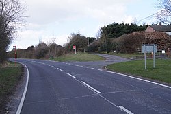
Balksbury is the site of a former Bronze Age hill fort to the south-west of Andover in Hampshire. Originally triangular in shape, most of it has been destroyed by the A303 Andover Bypass, and a large housing development. Only the very southwest parts survive, visible, and up to 1m in height.
This was a large hillfort, first occupied in the Late Bronze Age, and probably had rather a nice view over the meeting of Pillhill Brook and the River Anton, below and to the south-east. This was also the direction of the single gated entrance. The fort was used until and during the Roman period.
The site is listed as a scheduled ancient monument, though this has done little to protect it against the tide of concrete modernity.[1]
Location
The site is to the south-east of the town of Andover, within the county of Hampshire. The more prominent hillfort of Bury Hill lies to the southwest.