File:Bailiwick of Jersey location map.svg
From Wikishire

Size of this preview: 770 × 496 pixels. Other resolution: 320 × 206 pixels.
Original file (SVG file, nominally 770 × 496 pixels, file size: 281 KB)
Summary
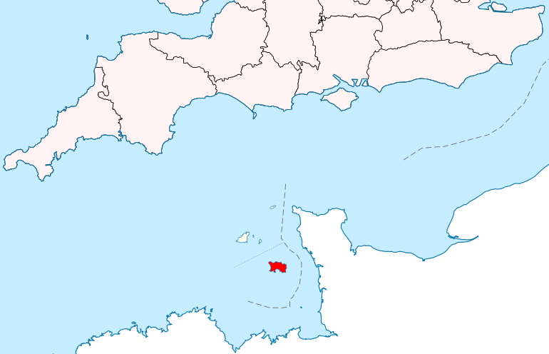
| Description | Location map: the Bailiwick of Jersey | ||
| Date | |||
| Source | |||
| Author | Hogweard | ||
| Permission (Reusing this file) |
|
File history
Click on a date/time to view the file as it appeared at that time.
| Date/Time | Thumbnail | Dimensions | User | Comment | |
|---|---|---|---|---|---|
| current | 10:17, 7 April 2020 | | 770 × 496 (281 KB) | Hogweard | {{Information |description=Location map: the Bailiwick of Jersey |date=2020-04-07 |source= *{{f|British Isles in Counties.svg}} *{{f|English Channel location map.svg}} |author={{u|Hogweard}} |permission={{PD-self}} |other versions= }} Category:Location maps of the Channel Islands Category:Maps of the Bailiwick of Jersey |
File usage
The following file is a duplicate of this file (more details):
- File:Bailiwick of Jersey location map.svg from a shared repository
The following page links to this file: