File:Helensburgh, lower Rhu Road.jpg
Jump to navigation
Jump to search
No higher resolution available.
Helensburgh,_lower_Rhu_Road.jpg (640 × 480 pixels, file size: 89 KB, MIME type: image/jpeg)
Summary
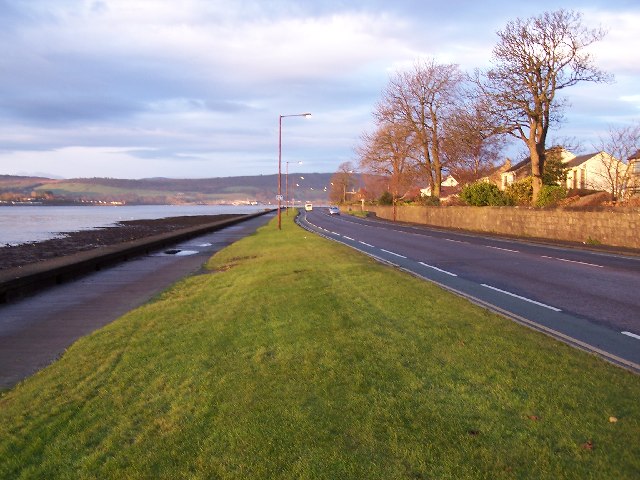
| Description |
English: Helensburgh, lower Rhu Road |
| Date | |
| Source | From geograph.org.uk |
| Author | william craig |
| Permission (Reusing this file) |
Creative Commons Attribution Share-alike license 2.0 |
| Attribution (required by the license) | william craig / Helensburgh, West Clyde Street / |
| Camera location | | View this and other nearby images on: OpenStreetMap |
|---|
_region:GB-SCT_heading:270.00&language=en)
| Object location | | View this and other nearby images on: OpenStreetMap |
|---|
_region:GB-SCT_heading:270.00&language=en)
Licensing

|
This image was taken from the Geograph project collection. See this photograph's page on the Geograph website for the photographer's contact details. The copyright on this image is owned by william craig and is licensed for reuse under the Creative Commons Attribution-ShareAlike 2.0 license.
|
This file is licensed under the Creative Commons Attribution-Share Alike 2.0 Generic license.
Attribution:
william craig
- You are free:
- to share – to copy, distribute and transmit the work
- to remix – to adapt the work
- Under the following conditions:
- attribution – You must give appropriate credit, provide a link to the license, and indicate if changes were made. You may do so in any reasonable manner, but not in any way that suggests the licensor endorses you or your use.
- share alike – If you remix, transform, or build upon the material, you must distribute your contributions under the same or compatible license as the original.
File history
Click on a date/time to view the file as it appeared at that time.
| Date/Time | Thumbnail | Dimensions | User | Comment | |
|---|---|---|---|---|---|
| current | 06:26, 27 August 2006 | | 640 × 480 (89 KB) | shared>Dave souza | {{geograph|87925|William Craig}} Category:Argyll and Bute Category:Cities and villages in Scotland |
File usage
The following page uses this file: