File:Kip Marina Scotland.jpg
From Wikishire
Size of this preview: 450 × 600 pixels. Other resolution: 180 × 240 pixels.
Original file (1,728 × 2,304 pixels, file size: 971 KB, MIME type: image/jpeg)
Summary
| Description |
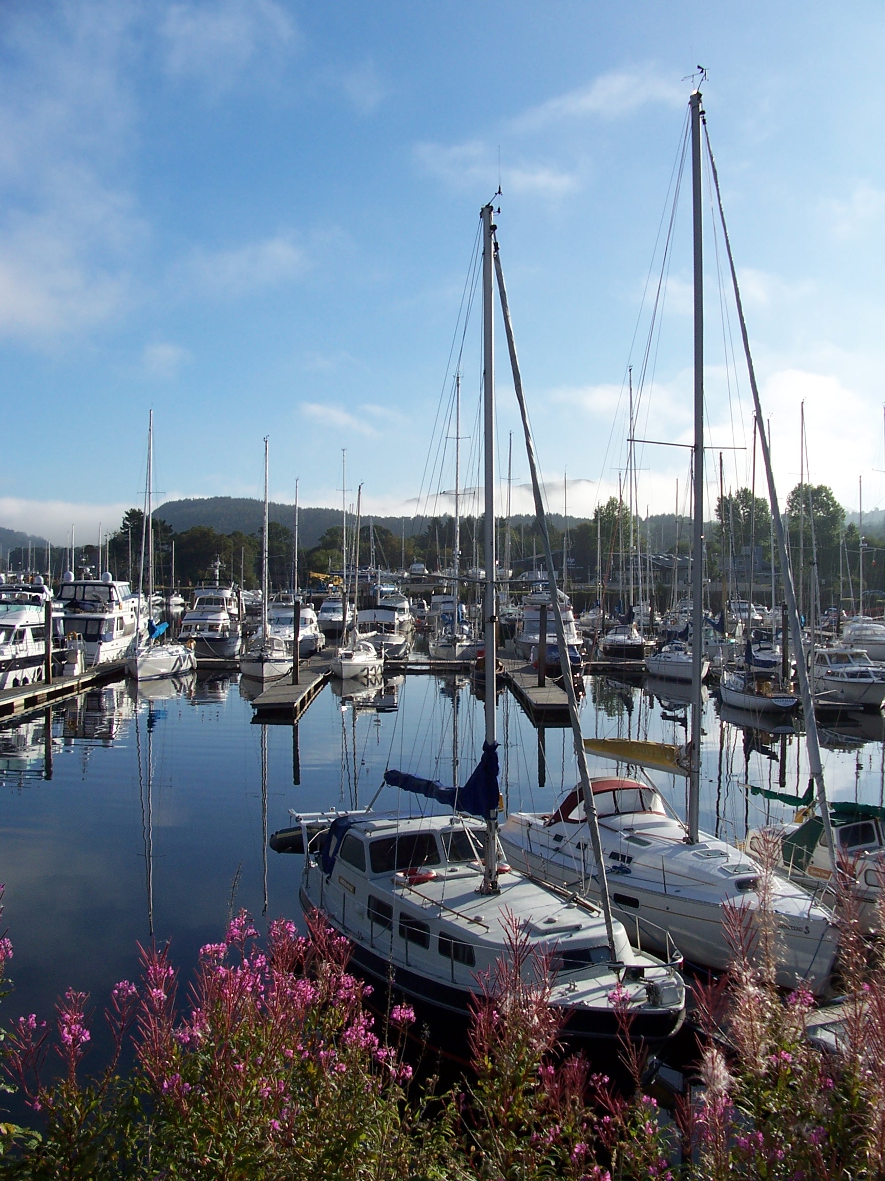
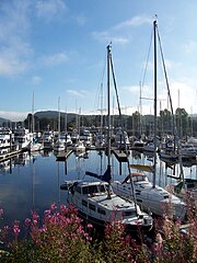
English: Kip Marina and Idzholm Hill. The morning mist has just cleared revealing an unusually flat calm marina. The last remnants of the mist can be seen around Idzholm Hill with the top of Cauldron Hill just visible in the distance. |
| Date | |
| Source | From geograph.org.uk |
| Author | Thomas Nugent |
| Camera location | | View this and other nearby images on: OpenStreetMap |
|---|
Licensing
I, the copyright holder of this work, hereby publish it under the following licenses:
This file is licensed under the Creative Commons Attribution-Share Alike 3.0 Unported license.
- You are free:
- to share – to copy, distribute and transmit the work
- to remix – to adapt the work
- Under the following conditions:
- attribution – You must give appropriate credit, provide a link to the license, and indicate if changes were made. You may do so in any reasonable manner, but not in any way that suggests the licensor endorses you or your use.
- share alike – If you remix, transform, or build upon the material, you must distribute your contributions under the same or compatible license as the original.

|
Permission is granted to copy, distribute and/or modify this document under the terms of the GNU Free Documentation License, Version 1.2 or any later version published by the Free Software Foundation; with no Invariant Sections, no Front-Cover Texts, and no Back-Cover Texts. A copy of the license is included in the section entitled GNU Free Documentation License. |
You may select the license of your choice.
File history
Click on a date/time to view the file as it appeared at that time.
| Date/Time | Thumbnail | Dimensions | User | Comment | |
|---|---|---|---|---|---|
| current | 18:04, 1 February 2009 | | 1,728 × 2,304 (971 KB) | Tam Nugent | {{Information |Description={{en|1=Kip Marina, Inverkip, Scotland}} |Source=Own work by uploader |Author=Tam Nugent |Date=2006-09-08 |Permission= |other_versions= }} At the mouth of Kip Water on the River Clyde, Scotland. <!--{{ImageUpl |
File usage
The following file is a duplicate of this file (more details):
- File:Kip Marina Scotland.jpg from a shared repository
The following page links to this file: