File:Osea Island map.jpg
From Wikishire
Size of this preview: 800 × 380 pixels. Other resolution: 320 × 152 pixels.
Original file (1,022 × 485 pixels, file size: 110 KB, MIME type: image/jpeg)
Summary
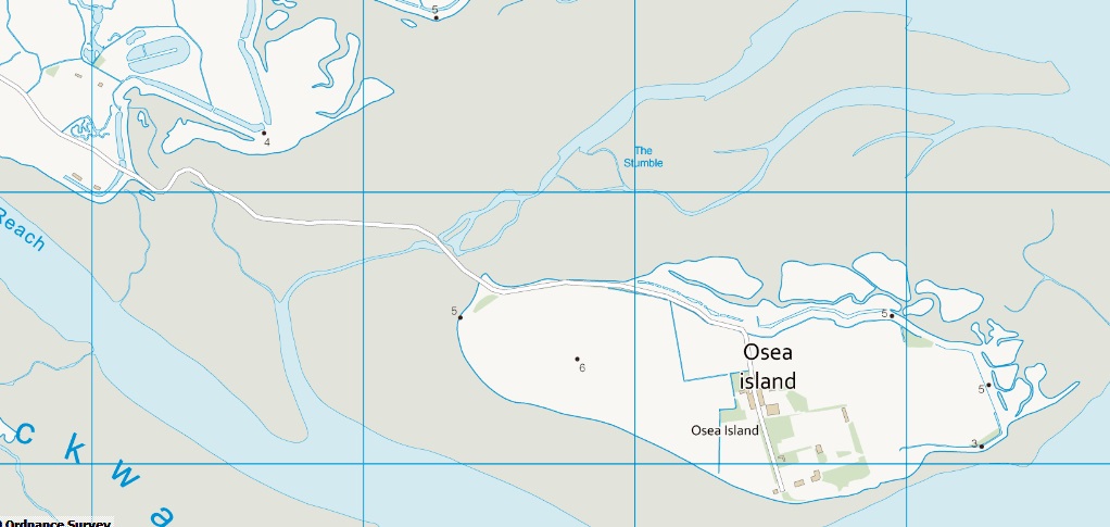
| Description | Map of Osea Island, Essex | ||||||
| Date | |||||||
| Source | Ordnance Survey | ||||||
| Author | Ordnance Survey | ||||||
| Permission (Reusing this file) |
|
_(St_Edwards_Crown).svg)

|
This image is a JPEG version of the original PNG image at File: Osea Island map.png.
Generally, this JPEG version should be used when displaying the file from Commons, in order to reduce the file size of thumbnail images. However, any edits to the image should be based on the original PNG version in order to prevent generation loss, and both versions should be updated. Do not make edits based on this version. See here for more information. |
File history
Click on a date/time to view the file as it appeared at that time.
| Date/Time | Thumbnail | Dimensions | User | Comment | |
|---|---|---|---|---|---|
| current | 14:09, 15 November 2022 | | 1,022 × 485 (110 KB) | Hogweard | {{Information |Description=Map of Osea Island, Essex |Source=Ordnance Survey |Date=2012-01-25 |Author=Ordnance Survey |Permission={{OS OpenData}} |other_versions= }} {{JPEG version of PNG|Osea Island map.png}} Category:Maps of Essex Category:OS OpenData |
File usage
The following file is a duplicate of this file (more details):
- File:Osea Island map.jpg from a shared repository
The following page links to this file: