File:Shelter and Holy Trinity Church, Potten End - geograph.org.uk - 226872.jpg
From Wikishire
No higher resolution available.
Shelter_and_Holy_Trinity_Church,_Potten_End_-_geograph.org.uk_-_226872.jpg (640 × 480 pixels, file size: 103 KB, MIME type: image/jpeg)
Summary
| Description |
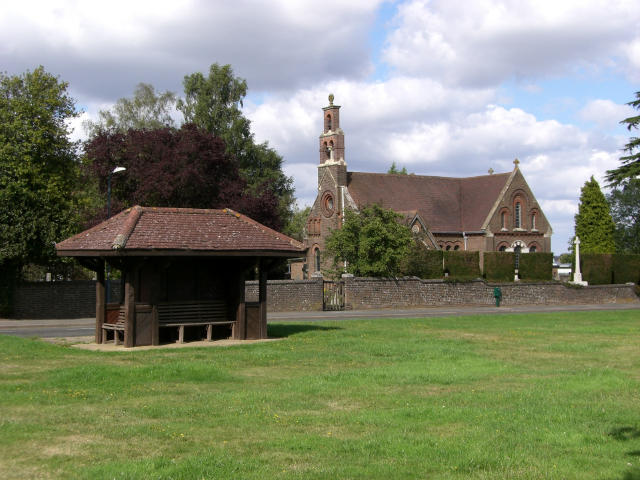
English: Shelter and Holy Trinity Church, Potten End. taken from the village green. It's a good job the Leylandii trees have been cut down to a sensible size otherwise the church would be completely oblitered from this view ! |
| Date | |
| Source | From geograph.org.uk |
| Author | John Willacy |
| Attribution (required by the license) | John Willacy / Shelter and Holy Trinity Church, Potten End / |
| Object location | | View this and other nearby images on: OpenStreetMap |
|---|
_heading:0.00&language=en)
Licensing

|
This image was taken from the Geograph project collection. See this photograph's page on the Geograph website for the photographer's contact details. The copyright on this image is owned by John Willacy and is licensed for reuse under the Creative Commons Attribution-ShareAlike 2.0 license.
|
This file is licensed under the Creative Commons Attribution-Share Alike 2.0 Generic license.
Attribution: John Willacy
- You are free:
- to share – to copy, distribute and transmit the work
- to remix – to adapt the work
- Under the following conditions:
- attribution – You must give appropriate credit, provide a link to the license, and indicate if changes were made. You may do so in any reasonable manner, but not in any way that suggests the licensor endorses you or your use.
- share alike – If you remix, transform, or build upon the material, you must distribute your contributions under the same or compatible license as the original.
File history
Click on a date/time to view the file as it appeared at that time.
| Date/Time | Thumbnail | Dimensions | User | Comment | |
|---|---|---|---|---|---|
| current | 00:41, 1 February 2010 | | 640 × 480 (103 KB) | GeographBot | == {{int:filedesc}} == {{Information |description={{en|1=Shelter and Holy Trinity Church, Potten End. taken from the village green. It's a good job the Leylandii trees have been cut down to a sensible size otherwise the church would be completely oblitere |
File usage
The following file is a duplicate of this file (more details):
- File:Shelter and Holy Trinity Church, Potten End - geograph.org.uk - 226872.jpg from a shared repository
The following page links to this file: