File:Site of Wet Home Wood - geograph.org.uk - 1564550.jpg
From Wikishire
No higher resolution available.
Site_of_Wet_Home_Wood_-_geograph.org.uk_-_1564550.jpg (640 × 480 pixels, file size: 68 KB, MIME type: image/jpeg)
Summary
| Description |
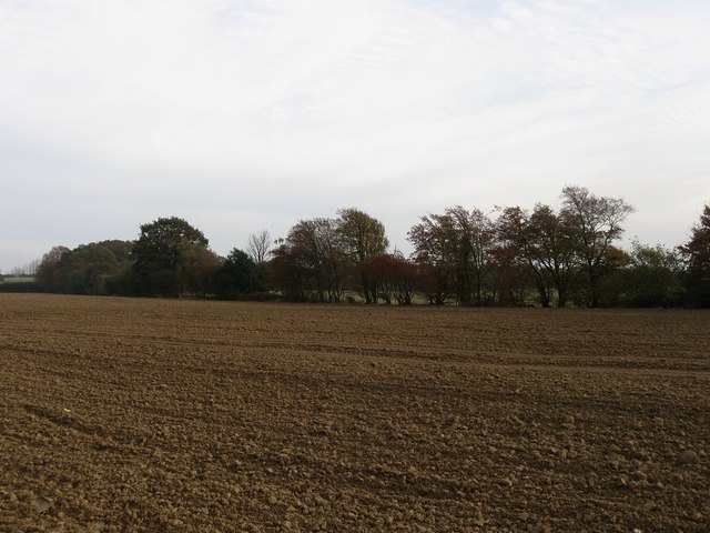
English: Site of Wet Home Wood The trees in the hedgerow at the end of the field were once part of the wood bank that formed the northern boundary of Wet Home Wood, also called Lower Home Wood in the 1842 tithe map. The wood is marked on a map dated 1976 but has since been grubbed though the outline can still be made out on aerial photos. |
| Date | |
| Source | From geograph.org.uk |
| Author | Simon Carey |
| Attribution (required by the license) | Simon Carey / Site of Wet Home Wood / |
| Camera location | | View this and other nearby images on: OpenStreetMap |
|---|
_heading:180.00&language=en)
| Object location | | View this and other nearby images on: OpenStreetMap |
|---|
_heading:180.00&language=en)
Licensing

|
This image was taken from the Geograph project collection. See this photograph's page on the Geograph website for the photographer's contact details. The copyright on this image is owned by Simon Carey and is licensed for reuse under the Creative Commons Attribution-ShareAlike 2.0 license.
|
This file is licensed under the Creative Commons Attribution-Share Alike 2.0 Generic license.
Attribution: Simon Carey
- You are free:
- to share – to copy, distribute and transmit the work
- to remix – to adapt the work
- Under the following conditions:
- attribution – You must give appropriate credit, provide a link to the license, and indicate if changes were made. You may do so in any reasonable manner, but not in any way that suggests the licensor endorses you or your use.
- share alike – If you remix, transform, or build upon the material, you must distribute your contributions under the same or compatible license as the original.

|
The categories of this image need checking. You can do so here.
|
File history
Click on a date/time to view the file as it appeared at that time.
| Date/Time | Thumbnail | Dimensions | User | Comment | |
|---|---|---|---|---|---|
| current | 17:58, 3 March 2011 | | 640 × 480 (68 KB) | GeographBot | == {{int:filedesc}} == {{Information |description={{en|1=Site of Wet Home Wood The trees in the hedgerow at the end of the field were once part of the wood bank that formed the northern boundary of Wet Home Wood, also called Lower Home Wood in the 1842 ti |
File usage
The following file is a duplicate of this file (more details):
- File:Site of Wet Home Wood - geograph.org.uk - 1564550.jpg from a shared repository
The following page links to this file: