File:West Riding locator in England.svg
From Wikishire

Size of this preview: 494 × 600 pixels. Other resolution: 198 × 240 pixels.
Original file (SVG file, nominally 1,108 × 1,345 pixels, file size: 302 KB)
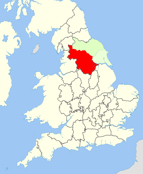
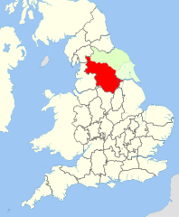
| Description | West Riding of Yorkshire locator map (historic counties) |
| Date | |
| Source |
This file was derived from: English counties 1851 with ridings.svg |
| Author |
|
| Permission (Reusing this file) |
This file is licensed under the Creative Commons Attribution-Share Alike 3.0 Unported license. Attribution: Hogweard
|
File history
Click on a date/time to view the file as it appeared at that time.
| Date/Time | Thumbnail | Dimensions | User | Comment | |
|---|---|---|---|---|---|
| current | 22:18, 20 April 2013 | | 1,108 × 1,345 (302 KB) | Hogweard | {{Information |Description=West Riding of Yorkshire locator map (historic counties) |Source={{Derived from|English_counties_1851_with_ridings.svg}} |Date=2013-04-20 |Author=*[[:File:English counties 1851 with ridings.svg|English counties 1851 with ridi... |
File usage
The following file is a duplicate of this file (more details):
- File:West Riding locator in England.svg from a shared repository
The following page links to this file: