File:WhistonVillageStreamNearRotherham(AndrewLoughran)Jan2006.jpg
From Wikishire
No higher resolution available.
WhistonVillageStreamNearRotherham(AndrewLoughran)Jan2006.jpg (640 × 479 pixels, file size: 181 KB, MIME type: image/jpeg)
Jan2006.jpg)
| Description |
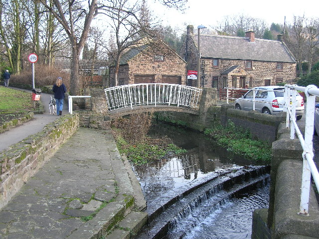
English: Footbridge over stream in the village of Whiston near Rotherham Nederlands: Voetgangersbrug over een riviertje in de buurt van Whiston een gemeente in de buurt van Rotherham |
| Date | |
| Source | From geograph.org.uk |
| Author | Andrew Loughran |
| Permission (Reusing this file) |
Creative Commons Attribution Share-alike license 2.0 |
| Camera location | | View this and other nearby images on: OpenStreetMap |
|---|
Jan2006.jpg¶ms=053.404018_N_-001.326112_E_globe:Earth_type:camera__&language=en)

|
This image was taken from the Geograph project collection. See this photograph's page on the Geograph website for the photographer's contact details. The copyright on this image is owned by Andrew Loughran and is licensed for reuse under the Creative Commons Attribution-ShareAlike 2.0 license.
|
This file is licensed under the Creative Commons Attribution-Share Alike 2.0 Generic license.
Attribution: Andrew Loughran
- You are free:
- to share – to copy, distribute and transmit the work
- to remix – to adapt the work
- Under the following conditions:
- attribution – You must give appropriate credit, provide a link to the license, and indicate if changes were made. You may do so in any reasonable manner, but not in any way that suggests the licensor endorses you or your use.
- share alike – If you remix, transform, or build upon the material, you must distribute your contributions under the same or compatible license as the original.
Original upload log
The original description page was here. All following user names refer to en.wikipedia.
- 2006-08-23 05:31 Euchiasmus 640×479×??? (185820 bytes) Footbridge over stream in the village of Whiston near Rotherham. Photograph taken on 24 January 2006 by Andrew Loughran and placed on the geograph website under a Creative Commons License. Image can be seen at https://www.geograph.org.uk/photo/112007 (acc
File history
Click on a date/time to view the file as it appeared at that time.
| Date/Time | Thumbnail | Dimensions | User | Comment | |
|---|---|---|---|---|---|
| current | 13:20, 31 August 2008 | | 640 × 479 (181 KB) | Angusmclellan | {{Information |Description=Footbridge over stream in the village of Whiston near Rotherham |Source=From [http://www.geograph.org.uk/photo/112007 geograph.org.uk] |Date=2006-01-24 |Author=[http://www.geograph.org.uk/profile/4344 Andrew Loughran] |Permissio |
File usage
The following file is a duplicate of this file (more details):
Jan2006.jpg)
- File:WhistonVillageStreamNearRotherham(AndrewLoughran)Jan2006.jpg from a shared repository
The following page links to this file:
Jan2006.jpg)
Jan2006.jpg)
Jan2006.jpg&action=edit&redlink=1)
Jan2006.jpg)
Jan2006.jpg&printable=yes)
Jan2006.jpg&action=info)